
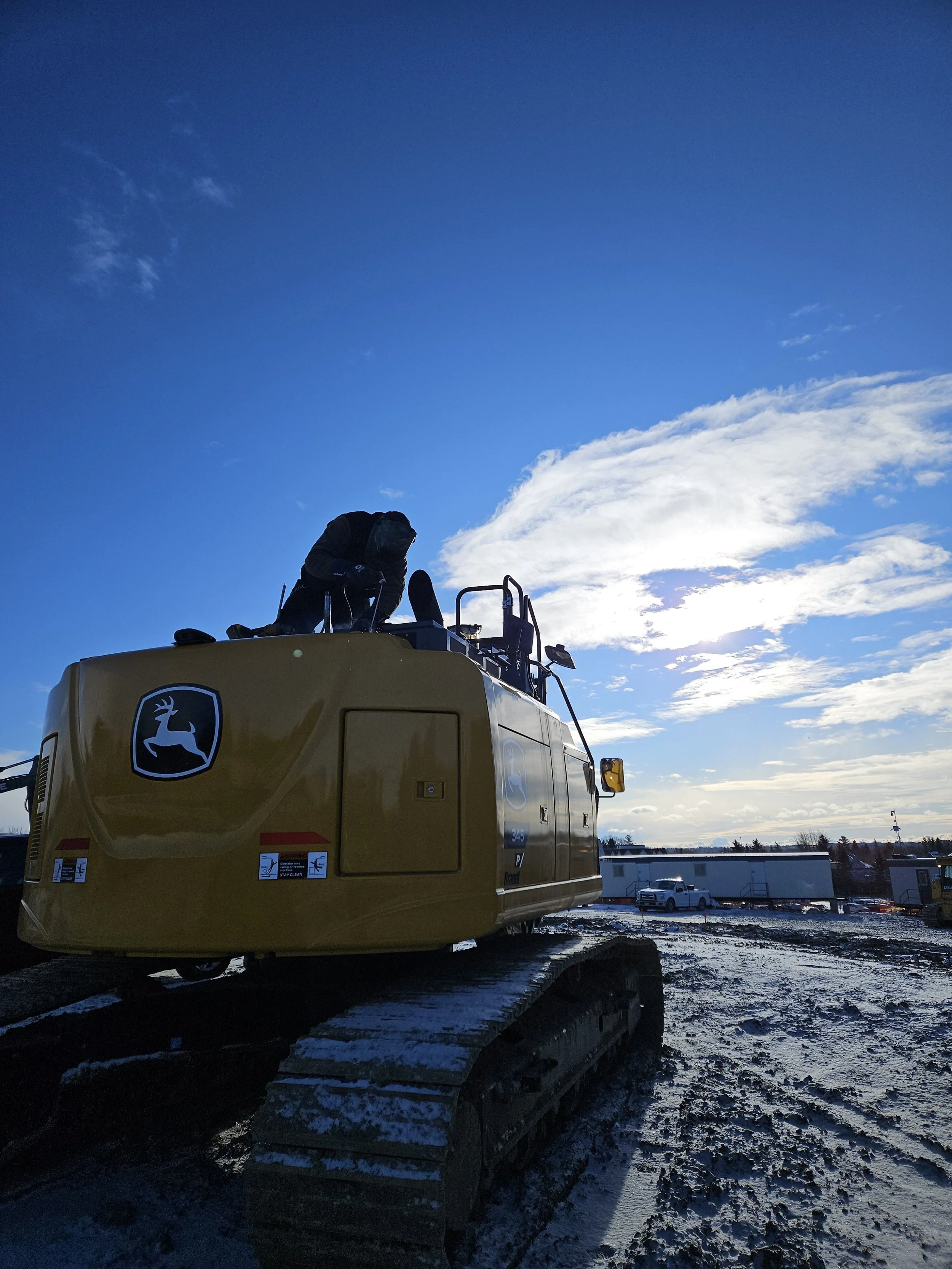
Machine control.
Made affordable.
Made simple.
High-precision 3D machine control and geospatial technology for civil construction. We are the digital construction partner we always wished we had.
Decades of proven expertise.
We are contractors first. Now we train and support builders in implementing high-precision 3D machine control and geospatial technology into their operations.
Every recommendation, every install, every training session is informed by real-world hours on real-world sites — not sales scripts. That's the difference.
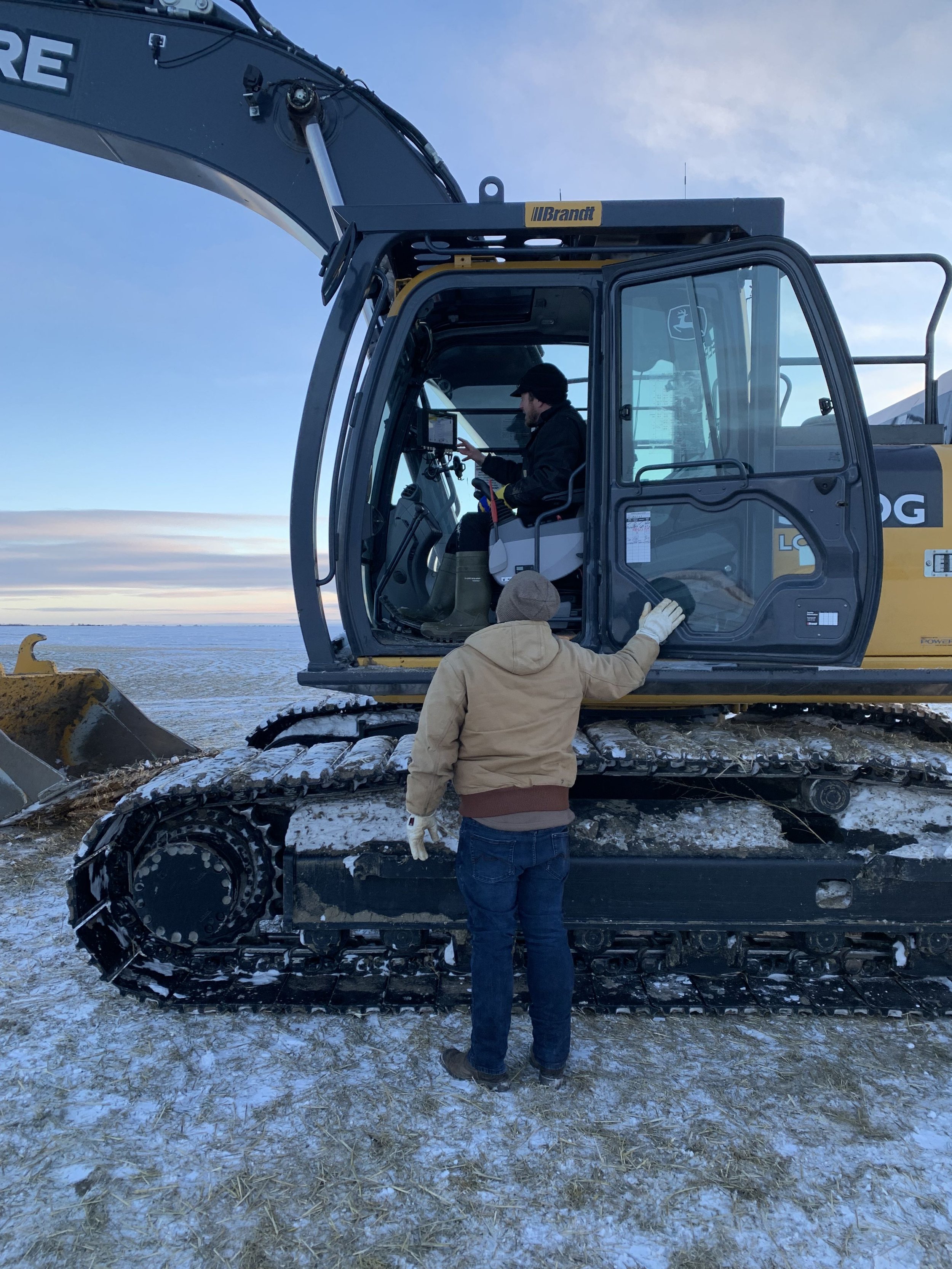
Built for the yard.
Priced for reality.

Affordable machine control.
Line of sight is no longer an issue. Stockpile as high as you need. Knock over all the stakes — you don't need them anymore. Over-digging becomes a thing of the past when the 3D model sits right at your fingertips.

Layout on demand.
Whether you're a seasoned pro or just starting out, our solutions simplify high-quality survey technology and put accuracy + efficiency in every operator's hands.
GPS, GLONASS, Galileo, Beidou, QZSS — tracked simultaneously for rock-solid RTK.
Travel far from base and hold fixed corrections — unheard of at this price.
Trained by contractors who've dug the trench. Not a call-center script.
Every system
in our lineup.
Official Canadian dealer of FJ Dynamics construction products. Sales, rentals, install, localization and training — all supported in-house by our own crews.
FJD G31 Pro 3D Excavator Guidance
Full 3D guidance for excavators. See cut, fill and design surface live in the cab — dig to grade the first time, every time.
- •3D design surface + real-time bucket position
- •Dual-antenna RTK GNSS, 5 constellations
- •Bright in-cab touchscreen display
- •Works with trenching, slopes, batters and pads
FJD G31 Lite 3D Excavator Guidance
The entry point into machine control. Same accuracy core as the Pro in a leaner package for smaller fleets and rentals.
- •3D depth and slope guidance
- •Quick-mount install, transfers between machines
- •Ideal first system for owner-operators
- •Upgrade path to G31 Pro
FJD H39 Pro 3D Dozer Control
Automatic blade control for bulldozers. Hold grade on the first pass and cut rework out of your schedule.
- •3D automatic blade control
- •Cut/fill mapping across the whole site
- •Fewer passes, less fuel, less material waste
- •Fits most common dozer makes
FJD H36 Pro 3D Motor Grader Control
Accurate grade from the start. Finish surfaces, sub-grade and roadwork to model without stringline or stakes.
- •3D grade control for motor graders
- •Mainfall and cross-slope to design
- •Road, parking lot and pad finishing
- •Millimetre-class RTK accuracy
GNSS Base & Rover Kit (V1T)
Layout on demand. Stake, check grade, shoot as-builts and localize sites without waiting on a surveyor.
- •RTK base station + handheld rover kit
- •25–35+ satellites across 5 constellations
- •Kilometres of range with fixed corrections
- •Rugged tablet with field software
3D Model Data Prep & Support
We build the models your machines run on and stand behind the hardware — install, localization, training and on-site help.
- •3D models from PDF, DWG or survey data
- •Site localization and calibration setup
- •Quantity takeoffs
- •Equipment rentals and operator training

From plans to
pay-dirt.
We build the 3D models your machines need — from PDFs, DWGs, or survey data — and load them straight to your rover or cab. Cut, fill, and grade with a model that matches the drawings your engineer signed.
“With FJ Dynamics we now communicate with all 5 major satellite constellations — 25 to 35+ satellites at any given time. We're travelling kilometres away from the base station and still receiving strong RTK fixed corrections. This is unheard of — especially for a product this affordable.”
Ready to see it
on your machine?
Book a live demo — on your equipment, on your site, or at our Vaughan facility. Bring your worst-case job and we'll show you what modern machine control does with it.
Book Your Demo- (905) 247-8500
- info@digitalterrainsolutions.com
- 180 Bass Pro Mills Dr
Vaughan, ON L4K 0B9